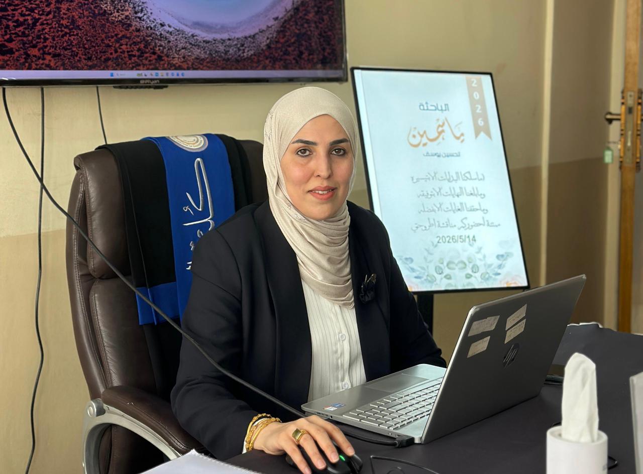
The PhD dissertation of researcher Yasmin Tahseen Yousef was discussed at the College of Engineering, University of Basrah, Department of Civil Engineering, under the supervision of Professor Dr. Ahmed Naseh Ahmed, entitled Floodplain Simulation and Drought Mitigation in Wasit Governorate, Iraq
The substantial amount of rainfall leading to runoff in floodplain regions poses hazards to residents within these areas and surrounding zones; consequently, flood simulation is crucial for precise risk evaluation and the formulation of water utilization strategies. In this dissertation, hydraulic and hydrological models, supported by Geographic Information Systems (GIS), were employed to simulate rainfall- runoff mechanisms in Wasit Governorate, central Iraq. A resolution of 30 m Digital Elevation Model (DEM) was supplied by the USGS, geospatially processed, and then imported into the Hydrologic Modeling System (HEC-HMS) at the Hydrologic Engineering Center. The runoff within the research area was estimated using the Soil Conservation Service Curve Number (SCS-CN) approach. The effectiveness and simplicity of SCS-CN method enabled it to be used to evaluate surface runoff. It depended on the land use/land cover (LU/LC), soil composition, and hydrological parameters to assist possible runoff. The SCS-CN methodology was applied by using Geographic Information Systems (GIS) with spatial analysis and the mapping of input parameters. Remote sensing data (RS), GIS, hydrological tools, and the Geo-HMS extension could produce the CN grid for any watershed. The study area was classified into nine subbasins with four types for LU/LC area (Bare Ground, Crops, Built Area, and Rangeland). The mean values of the CN grid for the nine specified sub-basins were 79.39, 85.83, 97.61, 84.12, 73.95, 79.21, 94.34, 81.68, and 88.10. These values indicate that the CN method, depending on data from NASA and FAO, was a viable approach. During the incident in November 2015, the Hydrologic Engineering Center's River Analysis System (HEC-RAS) was utilized to simulate floods using the runoff data Resulting from HEC-HMS. Inundation maps were produced using RAS-Mapper within HEC-RAS, depicting flood depth and velocity through the study area. The flood model underwent calibration through comparison of the simulation results with satellite imagery for November 14, 2015, using CSI, the hydrological factors, Initial abstraction (Ia), Muskingum Travel time (K), and Muskingum Dimensionless weight (X), and impervious% were adjusted using sensitivity analysis to achieve the greatest convergence between the model and satellite image. The result of CSI was 88.56%, (HR) was 96.31%, and (FAR)% was 8.33%., The validation has been done for the calibrated parameters and compared the results with satellite imagery for April 3, 2019. The high level of concordance allowed for the final inundation map to be approved. The importance of measuring runoff for managing water resources effectively and reducing flood risks is highlighted by this study.
As a mitigation strategy, an upstream reservoir with a bottom drainage canal is proposed to divert surplus water to the Tigris River via the Um Al-Jerry regulator. Model validation using the flood routing method demonstrated strong agreement, yielding a maximum volume variance of only 8.1%. Ultimately, integrating hydrologic-hydraulic modeling with remote sensing enhances water harvesting and flood management, effectively mitigating inundation risks, sewage pollution, and high sediment accumulation within the natural depression.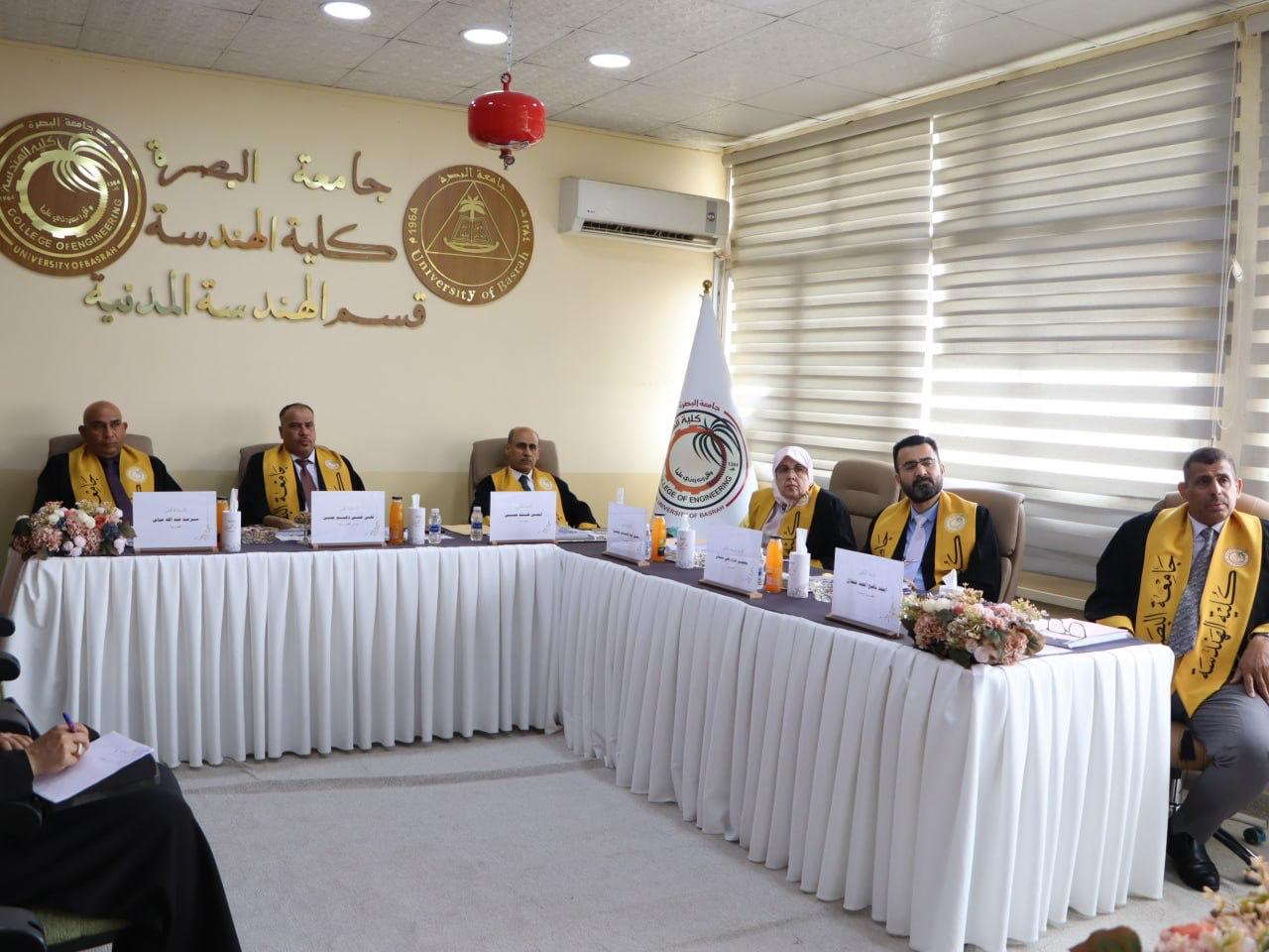
Important News


viewed most