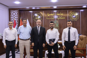
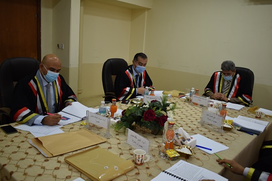
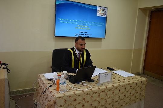
I discussed a master’s thesis at the College of Engineering at the University of Basrah (Spatial estimation of groundwater recharge using the WETSPASS model
The thesis presented by the student Ali Hussein Saleh dealt with the study of two methods for estimating groundwater recharge, the first is the water balance using the WetSpass model, and the other method is the fluctuation of the groundwater level WTF.
The thesis aims to estimate the rate of groundwater recharge in the Al-Tayeb area, because it is necessary to take the appropriate decision about the use of this water
Groundwater recharge depends on distributed topography, land surface tendencies, land use/land cover, soil texture, groundwater depth and climate condition.
The thesis concluded that the maximum and minimum mean annual evaporation of the area by wetspass . simulation
It is equal to 0 mm and 212 mm, respectively
And the coefficient of determination R for the relationship between precipitation (mm) and surface runoff (mm) is 0.9478, and between actual evapotranspiration (mm) and temperature in degrees Celsius is 0.9393
The second method for estimating the groundwater recharge estimated in this way is 22% of the average rainfall.
Important News


viewed most