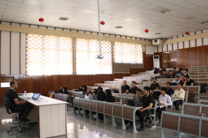
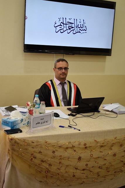
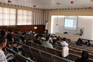
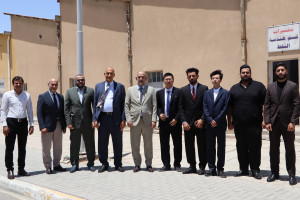
I discussed a PhD thesis at the College of Engineering at the University of Basrah (Estimating the sensitivity of groundwater using GIS technology in Bahr al-Najaf region in central Iraq)
The thesis presented by the student Zaid Nouri Hashem included the study of two types of data: spatial data and non-spatial data obtained from well records, pumping test results, geologic maps, hydrologic reports and soil surveys. Net recharge, type of groundwater reservoir, soil type, topography, effect of subradial zone and hydraulic conductivity
The thesis aims to estimate the sensitivity of groundwater using GIS technology in Bahr al-Najaf region in central Iraq
The thesis concluded that sensitivity analysis to remove the map that the variance in the index of vulnerability to groundwater is higher when removing the influence of the sub-root zone, then removing the depth from the calculation. Moderate and clear in all techniques
Important News

viewed most