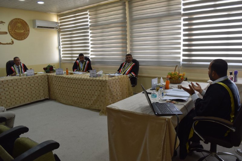

A master's thesis at the College of Engineering at the University of Basrah discussed estimating the flow of the Lower Zab Gap using the curve number method and geographic information systems.
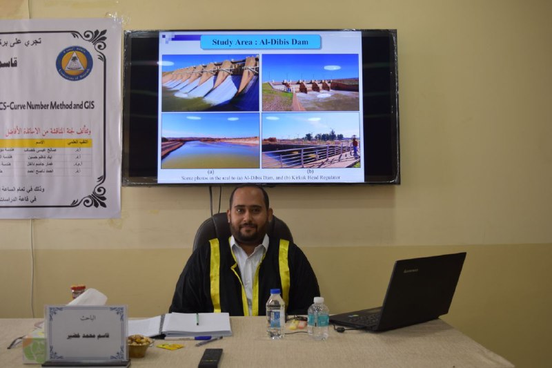
The thesis presented by student Qasim Muhammad Khudair dealt with the use of geographic information systems (GIS) to build the hydrological model for Al-Jabiya. Reliable remote sensing data was also used for the purpose of providing the basic geographic layers for the Al-Jabiya model, such as the digital elevation layer (DEM), the soil layer, and the land cover layer (LULC). ).
After processing the previous data layers, the basic hydrological layers were obtained to build the gravity model, including the Curve Number layer, which is extremely important in the simulation process.
The thesis concluded the success in constructing the hydrological model for the Lower Zab River in an effective and efficient manner, as the model was calibrated from 2014 to 2017, and then its efficiency was verified from 2017 to 2020, achieving very high statistical efficiency coefficients, including the coefficient of determination (R2), which exceeded 90%, and the Nash-Sutcliffe coefficient. (NSE), which exceeded 88% within the framework of the calibration and verification stages, allowing the hydrological model to be considered “very good.”
Important News


viewed most