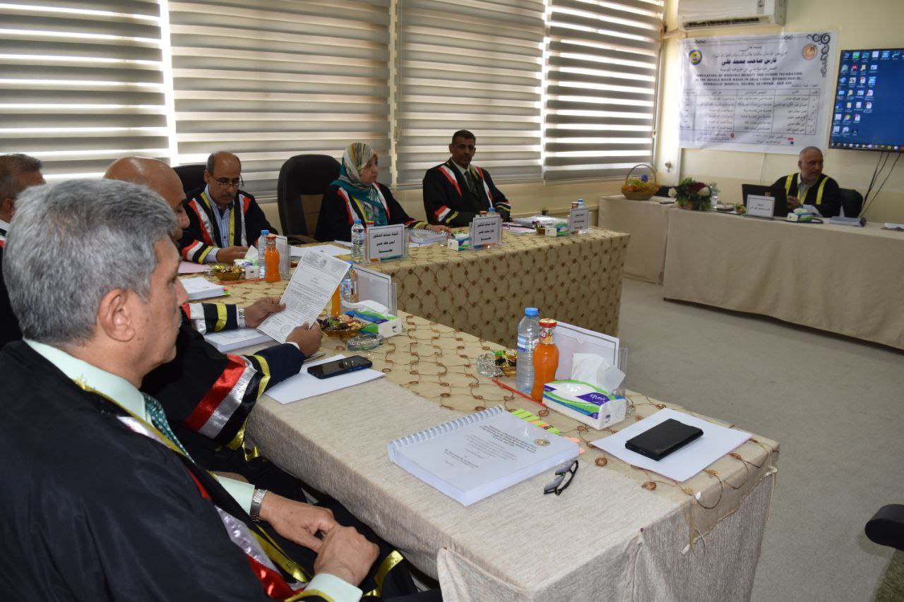

A doctoral thesis at the College of Engineering at the University of Basrah discussed the simulation of rainfall and surface runoff in the Diyala River Basin in Iraq using hydrological and hydraulic models, artificial neural networks, and geographic information systems.
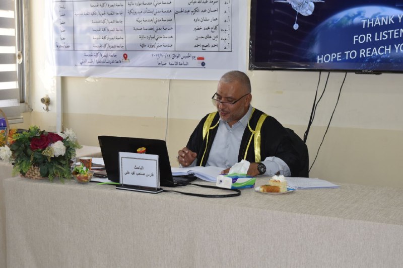
The thesis presented by student Fares Saheb Muhammad Ali dealt with the thesis
Using Geographic Information Systems (GIS) software with its accessories such as (Arc Hydro), (HEC_GeoHMS), and (HEC-GeoRAS) based on remote sensing images (DEM) obtained from the official European Space Agency (NASA) website, and satellite images. Soil Type from the US Food and Agriculture Organization (FAO) and Soil Cover and Uses (LULC) from the Environmental Systems Research Institute (ESRI). After processing and merging previous data The basic hydrological and hydraulic layers were obtained to build basin models, and the values of the Curve Number and Manning's Roughness Coefficient, which are important in the simulation, were extracted. Then the simulation was done using the famous hydrological simulation program (HEC-HMS) and the famous hydraulic simulation program (HEC-RAS).
The thesis concluded that a very high statistical efficiency was achieved, represented by the use of international standard statistical coefficients. The results showed (R2 = 95%, NSE = 94%, PBIAS = 4.52%, RMSE = 0.2) in the calibration and verification stages, which give a very good evaluation in the standard criteria. For those numbers.
Important News


viewed most